| To‘liq matnni ko‘chirib olish uchun kutubxonaga a'zo bo‘lish shart | |
|---|---|
| Fayl formati: | |
| Fayl format turi: | application/pdf |
| Fayl hajmi: | 10.51 MB |
| Hujjat turi: | Darslik |
| Nashr tili: | Inglizcha |
| Kataloglashtirish manbai: | Inglizcha |
| Hujjat tipi: | Bosma shaklda |
| Kirish huquq turi: | OCHIQ KIRISH |
Remote Sensing And Gis
Kitob mualliflari
Anji Reddy,
Remote Sensing is the technique of collecting information about the Earth from satellites or aircraft without direct contact. GIS (Geographic Information System) is a tool used to store, analyze, and display geographic data. Together, they help in mapping, monitoring, and managing natural resources, urban planning, and disaster response effectively.
| Bilimlar sohasi: | | Tilshunoslik | |
|---|---|
| UDK | |
| Kitob nashriyoti nomi: | BS Publications |
| Kitob nashr qilingan shahar: | New York |
| ISBN: | 81-7800-135-7 |
| Kitob nashr qilingan yili: | 2008 Yil |
| Betlar Soni: | 453 |
Kitobga aloqador kitoblar
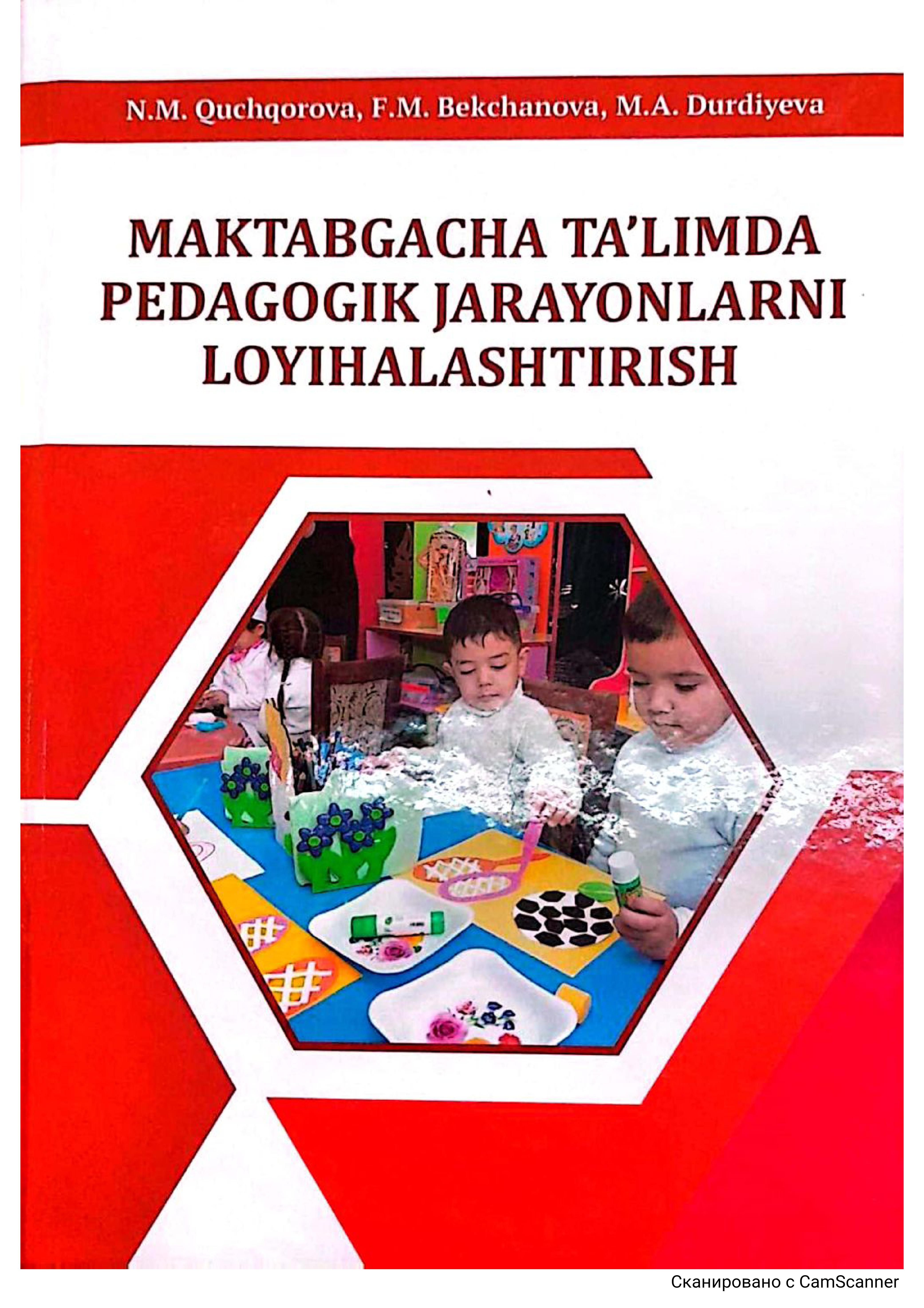
Maktabgacha ta'limda pedagogik jarayonlarni loyihalashtirish
Quchqorova N.M,
Bekchanova F.M,
Durdiyeva M.A.,


